7 Oct 2024 Ciudad de México, Mexico | Commitees
7 Oct 2024 Ciudad de México, Mexico | Commitees

28-29 Aug 2024 Santiago, Chile | Commitees
This twenty-third meeting of the Executive Committee of the Statistical Conference of the Americas will be held from 28 to 29 August 2024, at the headquarters of ECLAC in Santiago, Chile.

26 Jun 2024 Meetings and technical symposiums
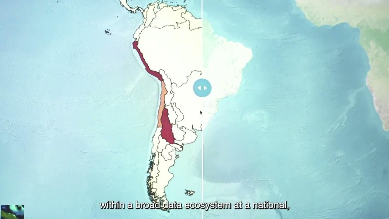
The United Nations Integrated Geospatial Information Framework (UN-IGIF) serves as a foundational roadmap for enhancing geospatial information management globally. Its primary goal is to aid...

18 Jun 2024 Reunión virtual/Virtual Meeting, Chile | Meetings and technical symposiums
The objective of this virtual seminar is to provide Member States and interested parties with the conceptual foundations related to the five principles of the United Nations Global Statistical and...

News

Briefing note
Briefing note
")
Briefing note

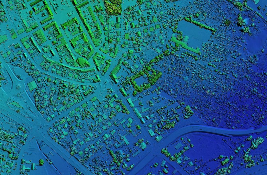
The Economic Commission for Latin America and the Caribbean (ECLAC) has joined global efforts to promote the integration of geospatial and statistical information, and understands their value in supporting areas such as decision-making, public policies, national development strategies and the...
video